Milan Digital Twin – Collaboration with the Municipality of Milan
The Geomatics Laboratory collaborates with the Municipality of Milan on its urban Digital Twin, contributing to survey specifications and assessing the quality and consistency of aerial and terrestrial datasets.
Description
A digital representation of a city becomes useful when it describes the territory accurately and integrates different sources of information consistently. This principle underpins the collaboration between the Geomatics Laboratory at DICAr, University of Pavia, and the Municipality of Milan, within the Milan Digital Twin project.
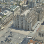
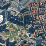
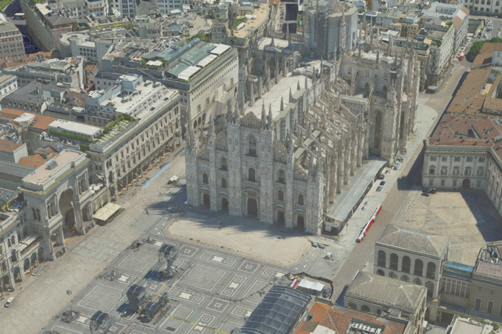
The project combines nadir and oblique aerial imagery, LiDAR point clouds and terrestrial mobile mapping surveys to build a three-dimensional knowledge base of the city and its metropolitan area. These complementary perspectives capture buildings, roads and urban spaces through high-resolution imagery, digital models and georeferenced data.
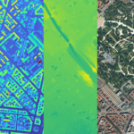
The laboratory contributes to defining survey specifications and rigorously assessing data quality. Activities include evaluating geometric accuracy, precision and consistency across datasets, using independent control measurements and photogrammetric and LiDAR analysis methods. Comparing and harmonising surveys acquired at different times also supports updates to the geospatial information base.
The collaboration brings research expertise into public administration: assessing data reliability provides a sound foundation for the digital twin and its applications in urban planning, management and monitoring of change.
Pubblications
Franzini, M., Casella, V.M., Monti, B., 2023. Assessment of Leica CityMapper-2 LiDAR Data within Milan’s Digital Twin Project. Remote Sensing, 15(21), 5263. https://doi.org/10.3390/rs15215263