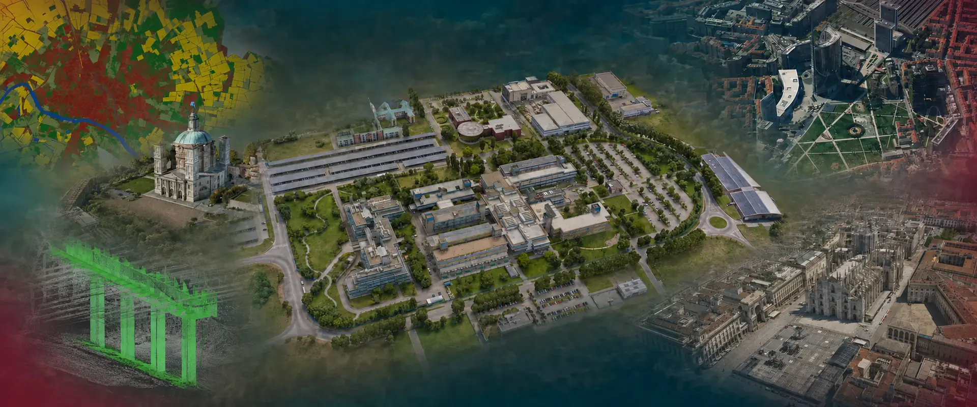
The Geomatics Laboratory at the University of Pavia develops methods and technologies for surveying and analysing land, the environment and the built environment. We investigate how to acquire, integrate and interpret geographic information to describe the world, understand change and support its management.
We combine aerial and UAV photogrammetry, LiDAR laser scanning, satellite positioning and geographic information systems to turn measurements into knowledge. Accuracy, reliability and data integration are central to our research: from three-dimensional building models to urban digital twins, from land monitoring to precision agriculture.
People
The laboratory brings together academics, researchers, technical staff, PhD students and early-career researchers with complementary expertise in surveying, data processing and geospatial applications. Working together allows us to cover the entire information workflow: from survey planning and field measurements to analysis and quality assessment.
The exchange of different perspectives and collaboration with other research groups encourage new ideas and professional development. Students undertaking theses and internships participate in this working environment, gaining research experience through practical challenges and experimental activities.
Research
We develop and test methods for acquiring, processing and interpreting geospatial data, with particular attention to the quality of measurements and derived products. We investigate instrument and sensor performance, compare surveying techniques and integrate data collected from the ground, aircraft, UAVs and satellites.
Applications include the three-dimensional reconstruction of buildings and urban environments, digital twins, land and infrastructure monitoring, precision agriculture, and the study of relationships between environment and health. Through national and European projects and collaborations with universities, public bodies and industry, we connect methodological research with the needs of those who use geospatial data to understand, plan and manage the territory.
Teaching
Research informs our teaching through lectures, practical exercises, fieldwork and laboratory activities. We guide students in understanding measurement principles and using geomatics technologies, connecting theoretical foundations with survey design, observation processing and the critical interpretation of results.
Working with real instruments and datasets also develops practical skills: selecting appropriate methods, organising data acquisition, identifying errors and assessing the accuracy of the resulting products. Theses and internships offer opportunities to explore these topics through participation in laboratory activities, from testing surveying techniques to analysing imagery, point clouds and geographic information.